Having gone around the Tesco car park at the Swan, we join the dual carriageway that takes us to The Yew Tree – the original “commercial centre” in Yardley. There was at one time a yew tree standing on the pavement on the left side of Church Road outside where a pharmacy called “Well” now stands. It was replaced by another one on the centre of the roundabout and this one was damaged during road works. Another (third) yew tree now stands on the roundabout.
The Yew Tree pub was built around 1919 on land owned by the Flavell family who had a large house and land in the area. In the 1990s, the pub was said to be a magnet for crime and in the year 2000 was destroyed in an arson attack. A new pub with a small retail park was built on the site, with a Co-op store at its heart.
Behind the pub there is a row of four shops then another row which at one time were the Co-op. Then in the 1950s there was a petrol station. This has had a varied life since then. It became offices, and by 2011 it was a Spanish tapas restaurant. It has been an Irish bar since 2015 called O’Mahoney’s.
We now go down Stoney Lane (not the one at Camp Hill) and we need to look out for Blakesley Road. Less than 200 yards off to the left is Blakesley Hall which is a timber-framed house built in 1590 by Richard Smalbroke (as in Smallbrook Street), a member of one of Birmingham’s leading merchant families.
“More than 400 years later, beautiful Blakesley is still a haven; secluded from the avenues of modern houses that lie beyond its gates.” – according to its website. The house is furnished using an inventory taken in the 17th century and reflects the lifestyle of a wealthy family of the late Tudor and Stuart period of English history. It’s well worth a look.
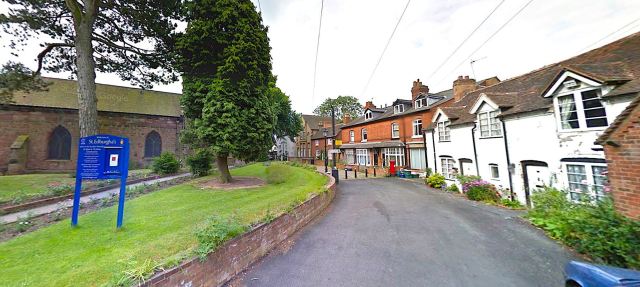
About 250 yards from the Outer Circle and off to right, Blakesley Road goes to Church Road (again), and a left turn would take you to the centre of “Old Yardley”, a conservation area. Along here is St Edburgha’s, Yardley’s Parish Church. Yardley was first recorded in a charter of 972 and is listed in the Domesday Book.
The church is Grade I listed, and considered to be of exceptional architectural and historic interest. The earliest documented date of the Church is 1187 but it could be even earlier at 1165, and the building comprises of a 13th century Chancel, 14th century Nave and transepts and a late 15th century North Aisle, Tower and Spire.
Within the churchyard stands Yardley Old Grammar School (or the Trust School). Built in the 15th-century as the church house, it was rebuilt in 1512 as a two-storey timber-framed building, and is now Grade II* listed. Its use as a school is first mentioned in a deed of 1575. In 1766 it was recorded that the Yardley Trust were to pay for a schoolmaster who was to be unmarried, given a rent-free house and who would teach the children of Yardley at no cost to their families. The Trust School now houses a room for meetings and almshouses.
If you are following our journey on an Outer Circle bus you can see the spire of the church over the tops of the houses on the right.
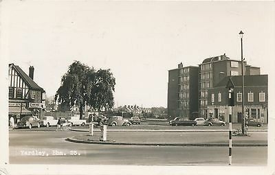
The Yew Tree roundabout c1950 without a Yew Tree!
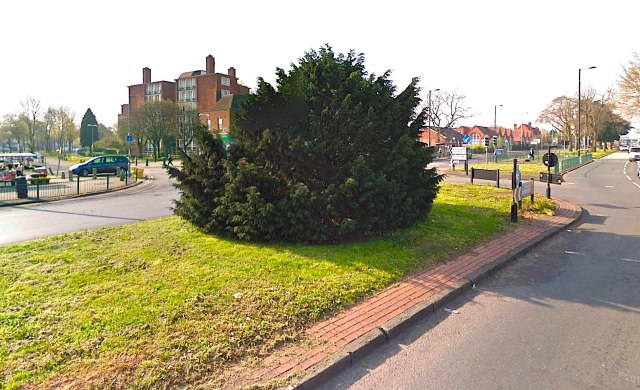
The yew tree at The Yew Tree – 2019
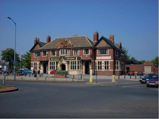
The Yew Tree pub c2000.
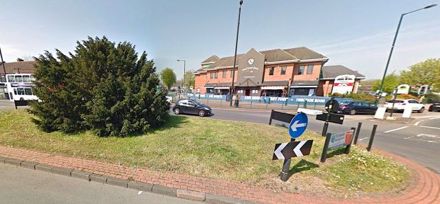
The Yew Tree and The Clumsy Swan pub – April 2019
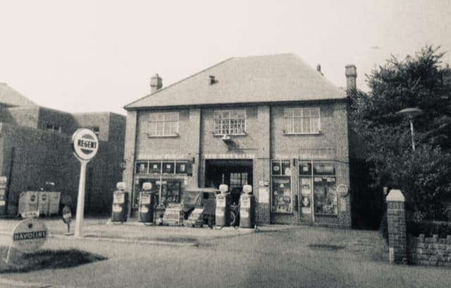
The Yew Tree Garage in 1953.
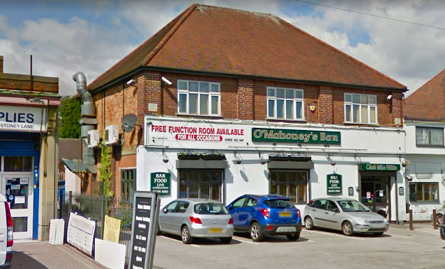
O’Mahoney’s Bar the latest occupier of the Yew Tree Garage Building
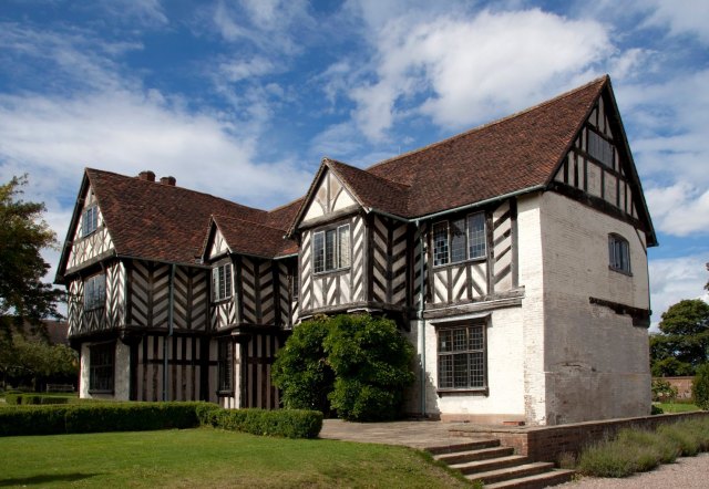
Blakesley Hall
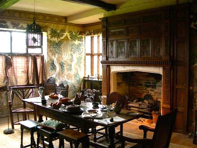
Blakesley Hall interior
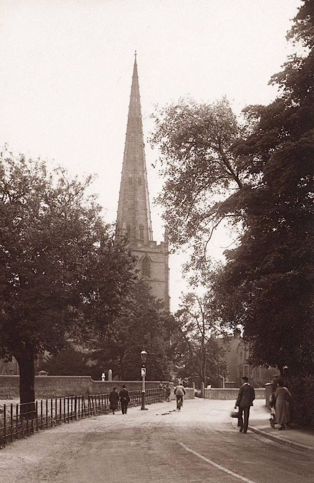
St Edburgha’s – Yardley Parish Church from the north – c1950
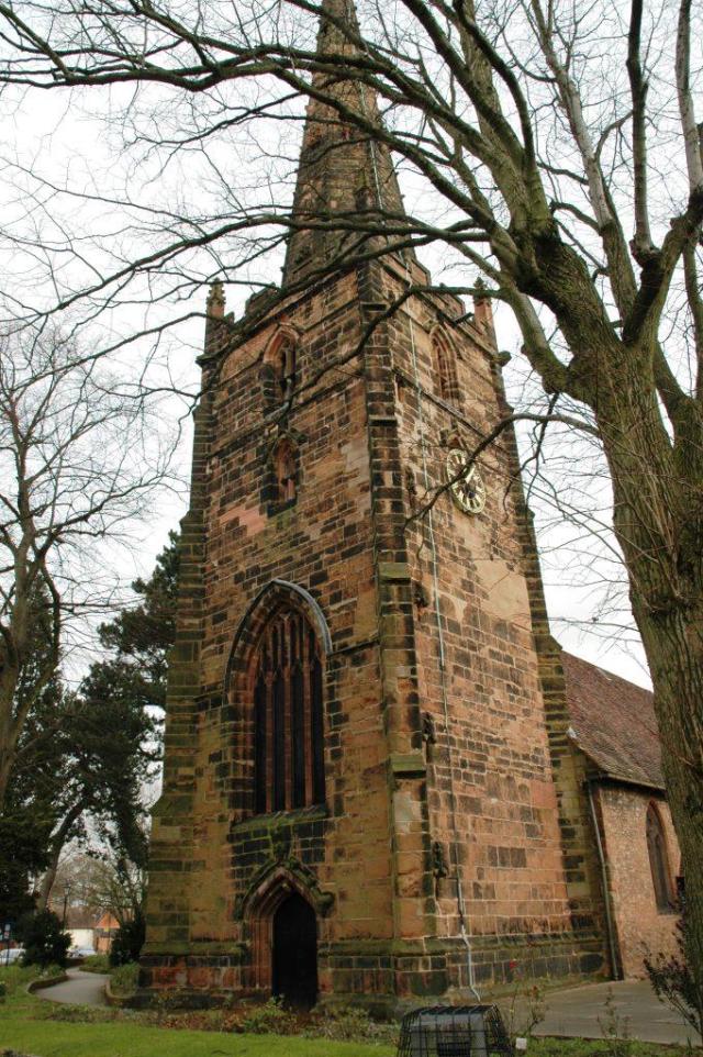
St Edburga’s Parish Church – c2010
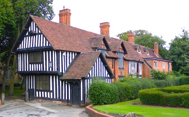
Yardley Trust School c2018
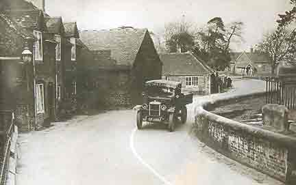
Yardley Village c1925
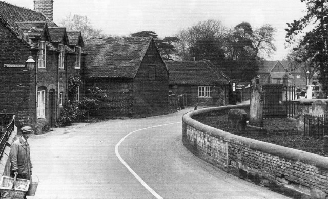
Church Road Yardley – The Old Smithy And Church Terraces On The Left – 1935
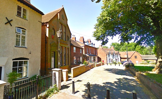
Yardley Village (from the south) – July 2012. Church Road is closed off at the church, so it can’t be used as a through route
Yardley Village (from the north) – June 2014. Church Road is closed off at the church, so it can’t be used as a through route. The church spire is hiding behind the tree.
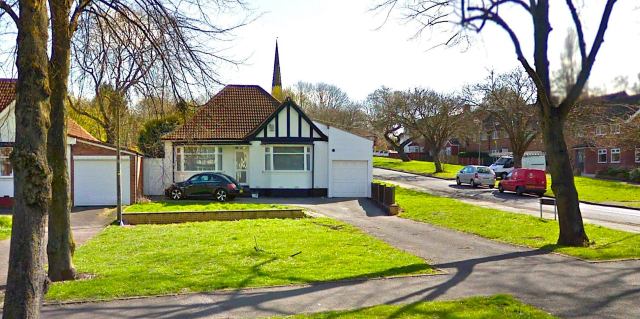
St Edburgha’s spire from Stoney Lane on the Outer Circle

