
We next cross Sarehole Road. This did not exist until the start of the 20th century when a section from the Stratford Road, opposite where the College Arms pub is was opened up, parallel to the River Cole and houses were built. It was extended as far as what was to become the site of the Aldis Lamp factory during the Great War.
Aldis Lamps were, and still are, used to signal between ships using Morse code. The factory was taken over by the Bell & Howell company around 1970 and demolished around the year 2000. Housing in a cul-de-sac named Aldis Close now stands on the site.
Across the road stands a factory owned by Perry Brothers from the 1930s where they made kitchen furniture. They shut down in 1980, the building is still there though now it’s owned by Drukers patisserie.
Further on from the two factories is Green Road, and on the right it leads down to The Ford through the River Cole. In spite of new housing the area remains almost as it was a century ago, except when the river is in flood and the road is closed. Although it is only about four miles form the city centre this remains one of the only fords still in public use in the city.
The remainder of Sarehole Road was developed in the 1930s, across Cole Bank Road up to the junction with Brook Lane and Robin Hood Lane.
The Outer Circle goes up Cole Bank Road which was originally called Cole Bank Lane. As with much of the area this was developed with housing in the 1930.
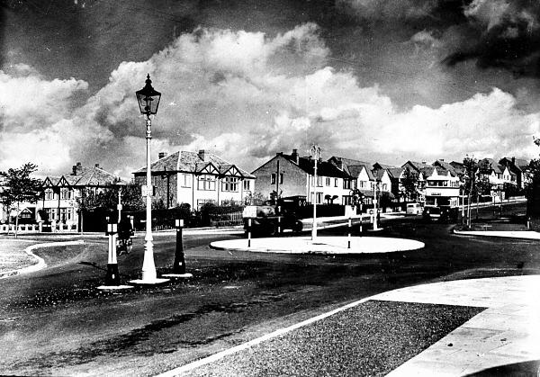
The junction of Sarehole Road & Cole Bank Road – 1930s.

No 7 Sarehole Road c1913
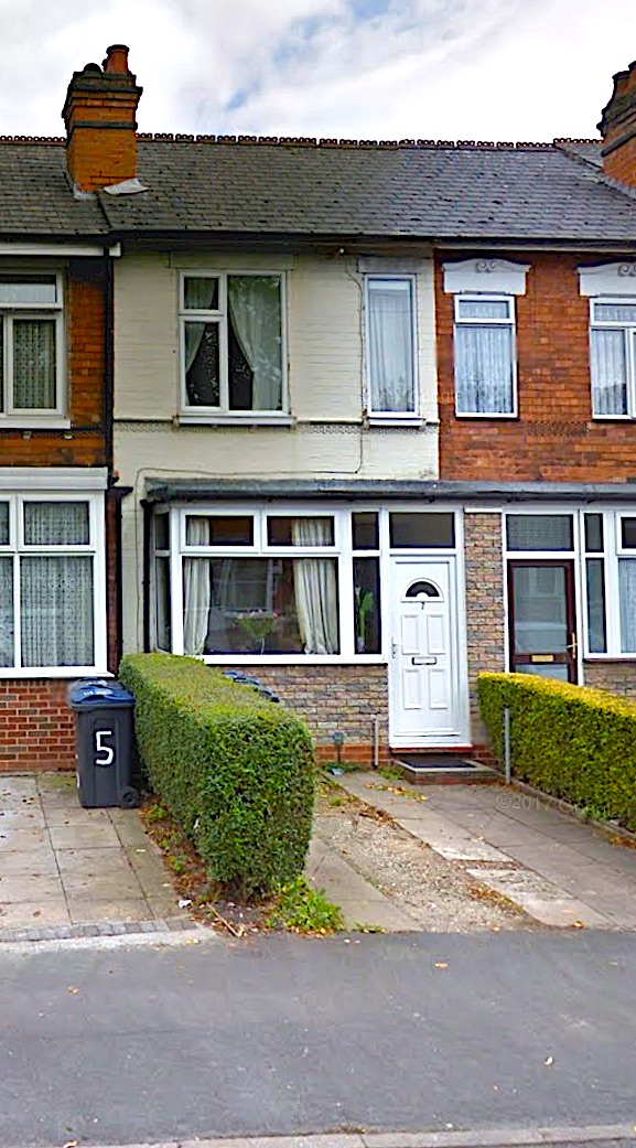
No 7 Sarehole Road 2018
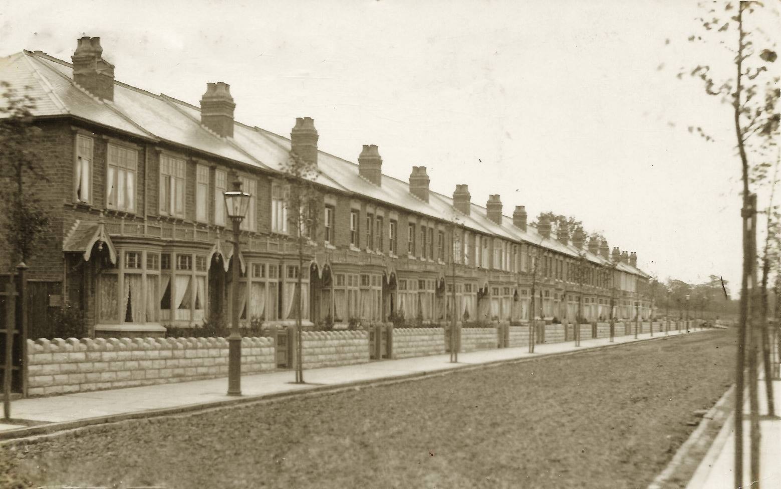
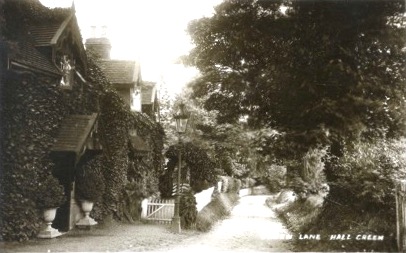
Sarehole Road – Hall Green – 1913
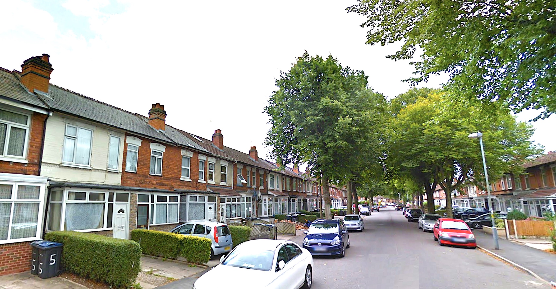
Sarehole Road – Hall Green – 2018

Aldis Lamp in use during WW2
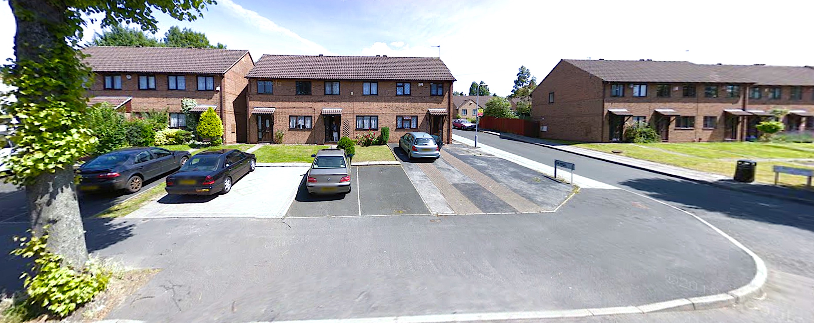
Aldis Close – Hall Green – Jul 2008
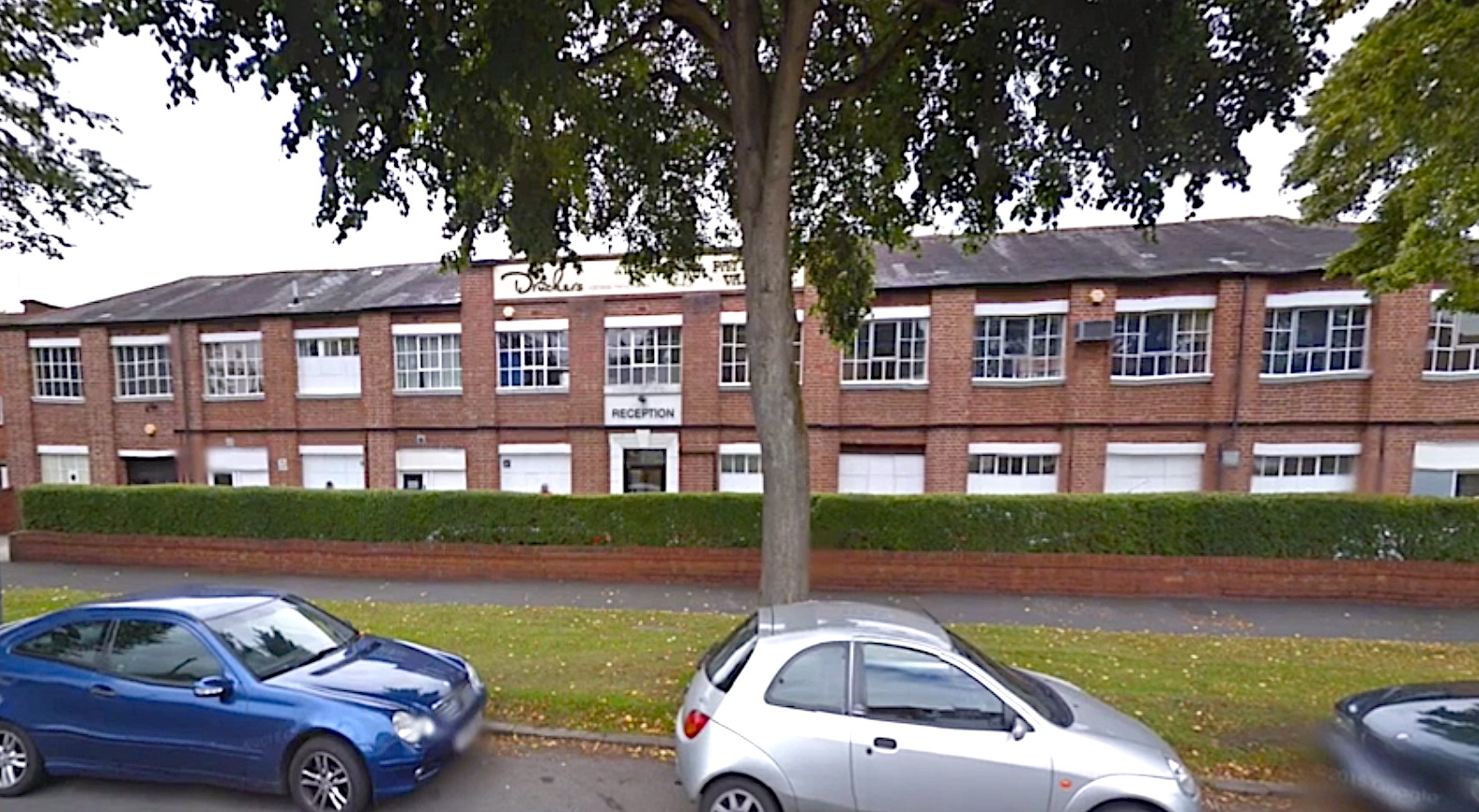
Druckers – Sarehole Road – was Perry Brothers – 2018

The Ford – Green Road – c1920
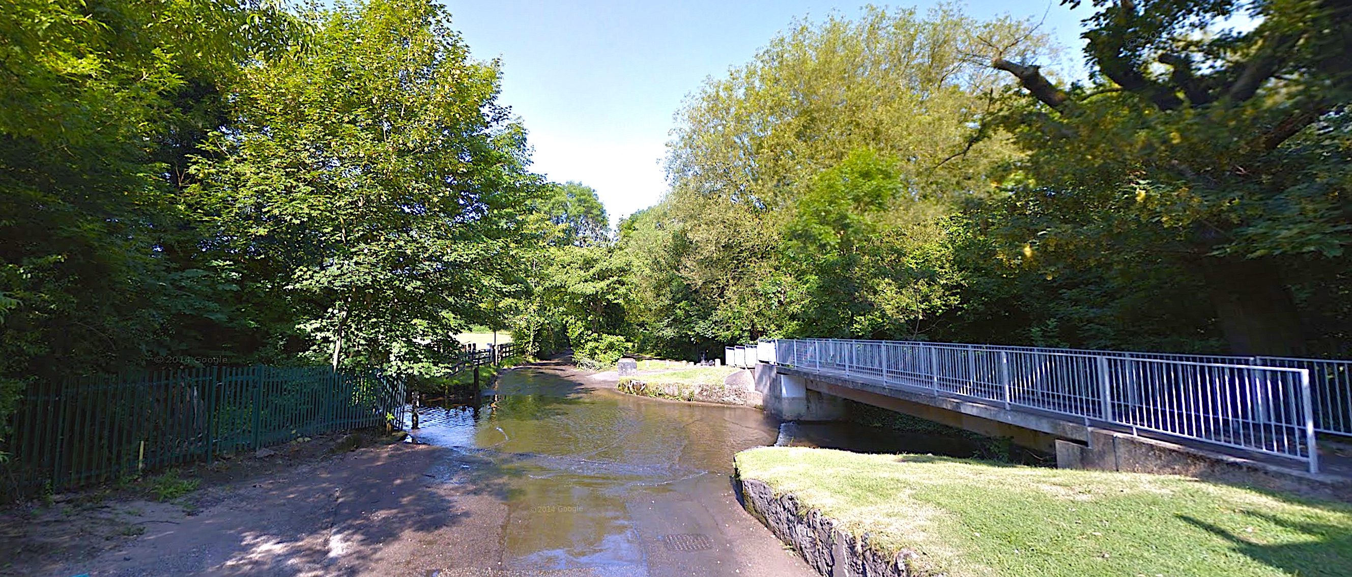
The Ford – Green Road – July 2014
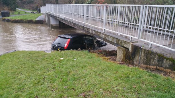
Green Road ford – Hall Green – Ford Fiesta washed under footbridge – March 2018
The Chalet – Green Road – Hall Green – c1920s

The Chalet – Green Road (was Green Lane) – Hall Green – c1920s

Green Road – The Chalet – Hall Green – 2018


